In this post
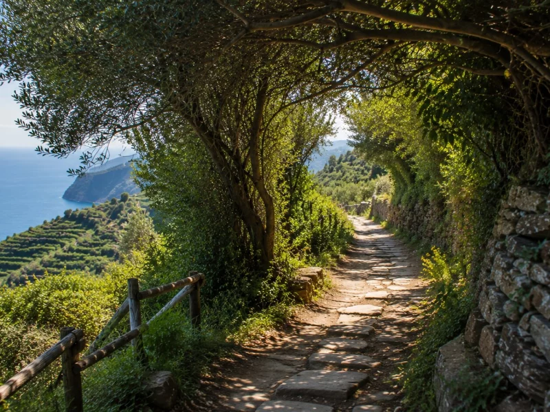
Most visitors treat the Cinque Terre trails as a scenic way to move between villages. That undersells them badly. These paths existed long before tourism did. People built them because there was no other way to reach a vineyard, a chapel, or a neighboring village across terrain with almost no flat ground anywhere.
Paths Built Out of Necessity
The main coastal route, the Sentiero Azzurro, or Blue Trail, runs roughly 12 kilometers. It originally connected all five villages: Monterosso, Vernazza, Corniglia, Manarola, and Riomaggiore. It wasn't built for hikers. It was built out of necessity. There was no other way to move tools, grapes, olives, and building material across a coastline where the hills drop almost straight into the sea.
A Coastline Built by Hand
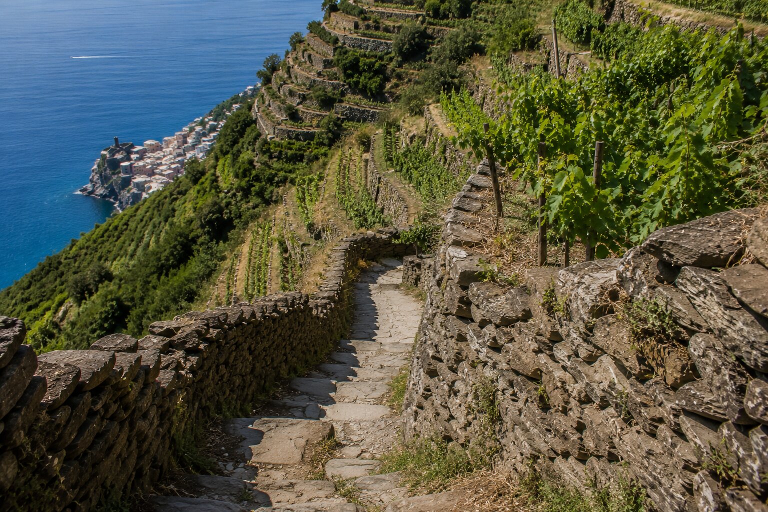
The terraces that define this landscape depend entirely on dry-stone walls. An estimated 7,000 kilometers of them, built without mortar, some nearly a thousand years old. UNESCO recognized the whole terraced landscape as a World Heritage Site in 1997. The listing points specifically at this relationship between people and close-to-impossible terrain. None of it survives without maintenance, and none of that maintenance happens without a path to actually reach it.
The Real Story Behind the Via dell'Amore
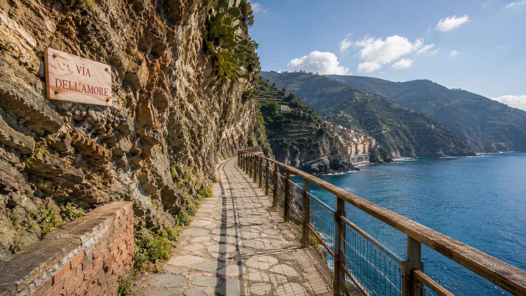
The most famous stretch of trail, the Via dell'Amore between Riomaggiore and Manarola, wasn't built for couples at all. Workers carved it between 1926 and 1928. It served as an access path for the railway tunnel being dug between the two villages. Before that path existed, the only route connecting them meant climbing roughly 600 steps, up and over the cliffs separating the towns. Once the tunnel work finished, local youth adopted the abandoned path as a meeting spot. The romantic name stuck sometime after the Second World War.
On September 24, 2012, a rockslide tore through the path and injured four tourists, shutting it down entirely. Only a 200-meter stretch reopened by 2015. The full trail didn't reopen until July 2024. The reconstruction cost somewhere between 23 and 25 million euros, and required helicopters, rock climbers, and steel netting bolted directly into the cliff face to prevent another collapse. That's a twelve-year closure, for a path just over a kilometer long, which says something about how fragile this coastline actually is underneath the postcard views.
Our guide to Cinque Terre villages explained covers more about how Riomaggiore and Manarola relate to the landscape around them.
More Than a Scenic Walk
The views from these trails are genuinely extraordinary, but the more interesting thing they offer is context. From a trail cut into the hillside, the terraces read as a coherent system rather than a pretty backdrop. The distance between villages that look close together on a map suddenly feels real. It gets measured in elevation gained, rather than minutes on a train.
Terraces, Vineyards, and What Keeps Them Standing
Wine production shaped this coastline as much as anything else did. Around 150 hectares of vineyard fall under the Cinque Terre DOC today. Nearly all of it sits on terraces too steep for any machine to work. For centuries, walking these paths wasn't optional for anyone farming this land. It was the only way to reach the vines. The only way to maintain the walls holding them up, and carry the harvest back down to the village.
Why Walking Changes the Rhythm
The regional train can move you between villages in minutes. That's convenient, but it creates a specific illusion: that Cinque Terre is a sequence of stops, rather than one continuous landscape. Walking breaks that illusion. The elevation becomes part of the experience rather than something skipped past in a tunnel. A village reached on foot, after climbing past working terraces and dry-stone walls, doesn't register the same way as one reached by train. The approach itself has already told you something about how the place actually works.
Seeing Past the Postcard Image
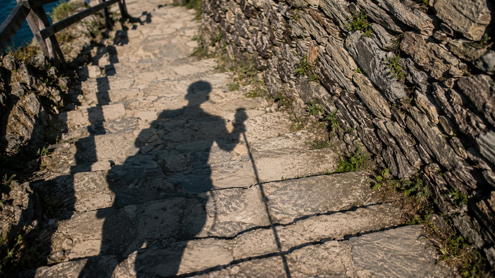
Cinque Terre draws roughly 2.5 million visitors a year, most of them chasing the same handful of photogenic harbor views. The trails offer a way to hold onto those images while adding real depth to them. From above, the villages look just as striking. But the terraces, the cliffs, and the actual scale of the terrain become part of the picture too, instead of staying hidden behind the postcard version. Our guide to Cinque Terre beyond the crowds goes deeper into how timing and pacing change this experience. Especially during the busiest months.
A Living Landscape, Not a Checklist
It's tempting to reduce these trails to a simple ranking: which one's easiest, which has the best view. That framing misses the point. Conditions here shift with the weather and the season. Sections of trail can close without warning after heavy rain — the same hydrogeological fragility that closed the Via dell'Amore for over a decade. Treating the network as a flexible way into the landscape, rather than a fixed list to complete, tends to produce a far better day. Chasing a specific route regardless of conditions rarely does.
Reading the Coastline Through Its Paths
These trails bring together everything that actually defines Cinque Terre. The terraces. The vineyards. The cliffs. Generations of labor that made an almost impossible coastline livable. Every stretch of dry-stone wall represents work repeated across generations. Every climb explains something about the relationship between beauty and sheer effort in this part of Liguria. Understood that way, the paths stop being just the best vantage point for a photo. They become the clearest explanation available for why this coastline looks and feels the way it does.